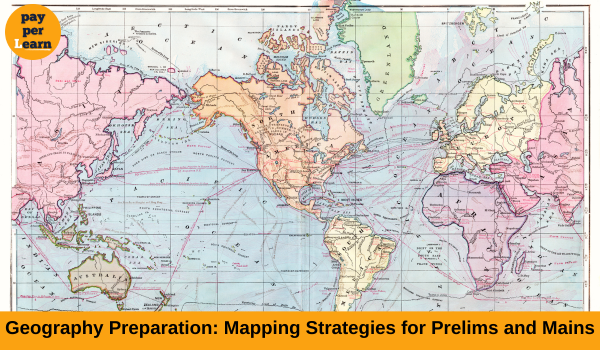
Geography is a crucial subject in the preparation for competitive exams like the UPSC Civil Services Examination. It encompasses both static and dynamic components and requires a thorough understanding of concepts, current events, and mapping skills. Effective mapping strategies can significantly enhance your performance in both the Prelims and Mains examinations.
1. Importance of Mapping in Prelims and Mains
- Prelims: The objective nature of the Prelims exam often includes questions on geographical features, locations of significant places, and current events linked to geography. A strong command of maps can help answer such questions accurately.
- Mains: In the Mains examination, particularly in General Studies Paper I and Geography Optional, the ability to draw and analyze maps is critical. It helps in substantiating answers and demonstrating a deeper understanding of geographical phenomena.
2. Tools for Mapping Preparation
- Atlases: Invest in a reliable and comprehensive atlas such as the Oxford Student Atlas or Orient Blackswan Atlas.
- Mapping Software: Use tools like Google Earth to get a detailed and dynamic view of geographical features.
- Online Resources: Websites such as NASA Earth Observatory and governmental portals provide valuable map-based insights.
3. Key Mapping Topics for Prelims
- Continents and Oceans: Location, physical features, and important water bodies.
- Mountains and Plateaus: Identification and geographical significance.
- Rivers and Lakes: Their courses, tributaries, and impact on surrounding regions.
- Countries and Capitals: Special focus on regions frequently in the news.
- Environmental Hotspots: National parks, wildlife sanctuaries, and biosphere reserves.
- Geopolitical Regions: Areas of conflict, international agreements, and strategic locations.
4. Key Mapping Topics for Mains
- Indian Geography:
- Rivers and irrigation projects
- Mountain ranges and plateaus
- Climatic zones and soil distribution
- Mineral belts and industrial regions
- World Geography:
- Major physical features (deserts, rivers, mountain ranges)
- Climatic zones and vegetation patterns
- Population density and urbanization trends
- Economic regions and trade routes
5. Effective Mapping Techniques
- Color Coding: Use different colors for rivers, mountains, political boundaries, and climatic zones.
- Symbols and Annotations: Develop a personal legend for marking important features.
- Memory Mapping: Regularly test your ability to draw rough maps from memory.
- Layered Mapping: Start with basic outlines and gradually add details.
- Linking with Current Affairs: Mark locations mentioned in daily news on your maps.
6. Practice Strategies
- Daily Practice: Spend 10-15 minutes daily identifying and marking key geographical features.
- Map-Based Questions: Solve previous years’ map-based questions to identify patterns.
- Interactive Quizzes: Engage in online quizzes to test your mapping knowledge.
- Group Discussions: Share insights and mapping techniques with peers.
7. Answer Writing for Mains
- Incorporate Maps: Draw simple and clear maps wherever relevant to substantiate your answers.
- Focus on Clarity: Ensure that maps are legible and properly labeled.
- Use Arrows and Annotations: Highlight key points using arrows and concise notes.
- Practice Map Drawing: Regularly practice drawing maps to improve speed and accuracy.
8. Common Mistakes to Avoid
- Overcrowding Maps: Avoid cramming too much information on a single map.
- Neglecting Scale: Maintain a consistent scale for better clarity.
- Ignoring Current Affairs: Stay updated with geographical events and incorporate them into your preparation.
- Inaccurate Marking: Practice enough to ensure precise and accurate map plotting.
9. Revision Strategies
- Thematic Maps: Create thematic maps for quick revisions (e.g., rivers, climate zones).
- Summary Sheets: Maintain concise notes with key geographical details.
- Flashcards: Use flashcards for memorizing locations and features.
- Mock Tests: Participate in mock tests that include map-based questions.
Conclusion
Mastering mapping strategies is essential for excelling in Geography for both Prelims and Mains. Consistent practice, integration of current events, and a methodical approach to drawing and analyzing maps will help you navigate this crucial subject with confidence. With dedication and the right techniques, you can turn Geography into a scoring subject in your examination preparation.

